Overview
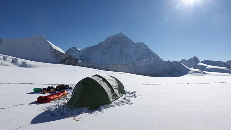
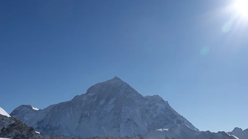
The Makalu region is one of the most remote and least explored places, yet the trip leads you toward the magnificent surroundings. Mt. Makalu, the world’s fifth-highest peak at 8,463 meters, and 16 other well-known peaks are all located inside this pristine area.
The route travels through the scenic Arun River Valley in Makalu Barun National Park and over Shipton Pass (4,127 m) on the way to Makalu Base Camp (5,000 m). Royal and spectacular, the vistas from here include Makalu’s south face, Everest, and Lhotse.
The region of Makalu Barun provides a remarkable and varied habitat for a wide variety of flora and fauna due to its broad range of altitudinal and weather patterns. This area is home to a rich collection of plant and animal species. There are plants here that are native to all of the major biological zones, including tropical, subtropical, temperate, alpine, and subalpine. The park is home to a diverse collection of animals from all over the world.
The local people are kind and simple, and their traditions and cultures are vast and varied. The stunning mountains and untouched forests are also features of this rich scenic paradise. Other highlights include a broad range of plant and animal life, as well as a large variety of herbs.
Highlights of Makalu Region
- Several mountain passes, lakes, and camping spots in the mountains.
- The Makalu Barun Conservation Area Project preserves a variety of vegetation, from subtropical birch and rhododendron woodlands to alpine meadows and the tropical Sal forest at the equator.
- Conservation Area, including the Red Panda, Clouded Leopard, Snow Leopard, Wild Boar, Musk Deer, Himalayan Thar, Barking deer, Wild Yak, and over 420 species of birds etc.
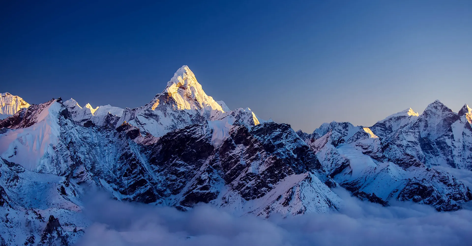
- Panoramic views of Mt. Baruntse, Mt. Lhotse, Mt. Everest, Mt. Chamlang, Mt. Makalu, and numerous other peaks.
The Himalayas of the Makalu Region
The Makalu region is located in Nepal’s far northeast and is typically ignored by tourists. Mt. Makalu, the world’s fifth-highest peak with an altitude of 8,463 meters, is located here in an untouched part of the planet (27,825 ft). It may be found in the Mahalangur Himalayas, 19 kilometers southeast of Everest.
Listed below are the notable peaks located in the Makalu Region. During your visit to this region, you will be able to witness the beautiful Himalayas.
- Mt. Makalu (8,841 m)
- Hongku Chuli (6,833 m)
- Chamlang (7,319 m)
- Tutse (6,758 m)
- Baruntse (7,129 m)
- Mera (6,654 m)
Makalu Barun National Park
The Makalu Barun National Park was formed in 1992 in the eastern Himalayas of Nepal. It has a total size of 1,500 km2 and is surrounded by a buffer zone of 800 km2 to the south and southeast.
From near-tropical monsoon forest at 400 m (1,300 ft) in height to subalpine conifer stands at 4,000 m (13,000 ft), Makalu Barun National Park is home to a wide variety of forests. There are 3,128 known species of flowering plants in Nepal. These include 67 economically useful aromatic and medicinal plants, 19 bamboo species, 15 oaks, 86 fodder trees, and 25 of Nepal’s 30 rhododendron variants.
In addition to its natural beauty, this national park is notable for the wide variety of species found there. A total of 440 bird species, 315 butterfly species, 43 reptile species, and 16 amphibian species have been identified. The area’s 78 fish species can be found in its various waterways. Some of the animals that live in this area are snow leopards, red pandas, musk deer, wild boar, and more.
People and Culture of Makalu Region
Several ethnic groups live together in harmony, but the Limbu and Sherpa are mainly dominant in the Makalu region. Every one of these ethnic groups has its own distinct language, culture, and customs that are all its own.
Limbu people have their own ceremonies for many parts of life. Mekhli and taga are the Limbus’ traditional clothes. While performing mangsewa, Yakthung people wear mekhli and taga. Dhaka is the traditional fabric of the Limbu people. It is made by hand with geometric patterns. From one generation to the next, people learn how to make Dhaka. Limbu men wear dhaka topis (hats) and scarves, and Limbu women wear dhaka sarees, mekhlis, blouses, and shawls.
The Sherpa are another prominent people of Makalu. Both their climbing ability and stamina at such heights have made them known throughout the globe. Gyalpo Lhosar is a significant celebration for the Sherpa. The months of February and March are typical for this celebration to take place.
Where is the Makalu Region located?
The region of Nepal’s northeastern corner is where you will find Makalu. The Everest region can be found to its west, Tibet can be found to its north, the Arun River can be found to its east, and the Sabha River can be found to its southernmost point.
How to get to Makalu Region?
The trekking and climbing path to the Makalu region opens with a flight to Tumlingtar (the region’s only airport), then the track from Khandbari to Num continues, crossing the Arun River before reaching the conservation area.
The typical method includes a 20-hour drive from Kathmandu to the trailhead (Hile), followed by a trek to Tumlingtar. There is an additional Salpa Pass route connecting Tumlingtar as well as the Everest region.
When to visit Makalu Region?
The best times to visit the Makalu region for trekking are from March to May and from September to November.
September through November is the peak period of the year for trekking. At this time of year, every trekker wants to visit the destination due to the steady weather, breathtaking mountain vistas, thick woods, and attractive environment underneath a deep blue sky.
Spring (March to May) is also one of the most beautiful times of year to visit the Makalu Region. This is the season when grasses and flowers bloom. In the region of Makalu, rhododendrons and oaks grow. Winter ends gradually as the climate warms. In a temperate area, there is a small probability of snow or rainfall.


